Aerospace Information Research Institute (AIRCAS) of the Chinese Academy of Sciences — remote sensing, satellite data, and aerospace information science.
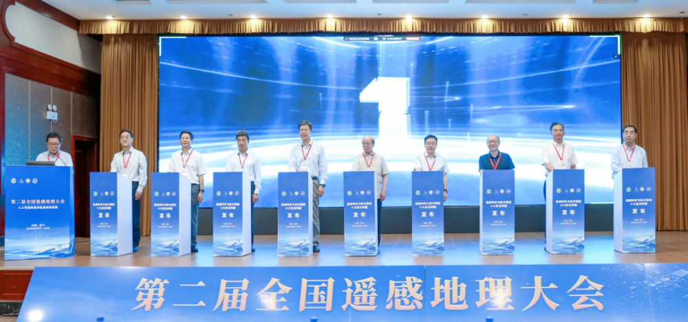
Ten frontier scientific challenges expected to shape future research and technological development in remote sensing were unveiled on Aug. 28 at the opening ceremony of the Second National Conference on Remote Sensing Geography in Kashgar, northwest China's Xinjiang Uygur Autonomous Region.
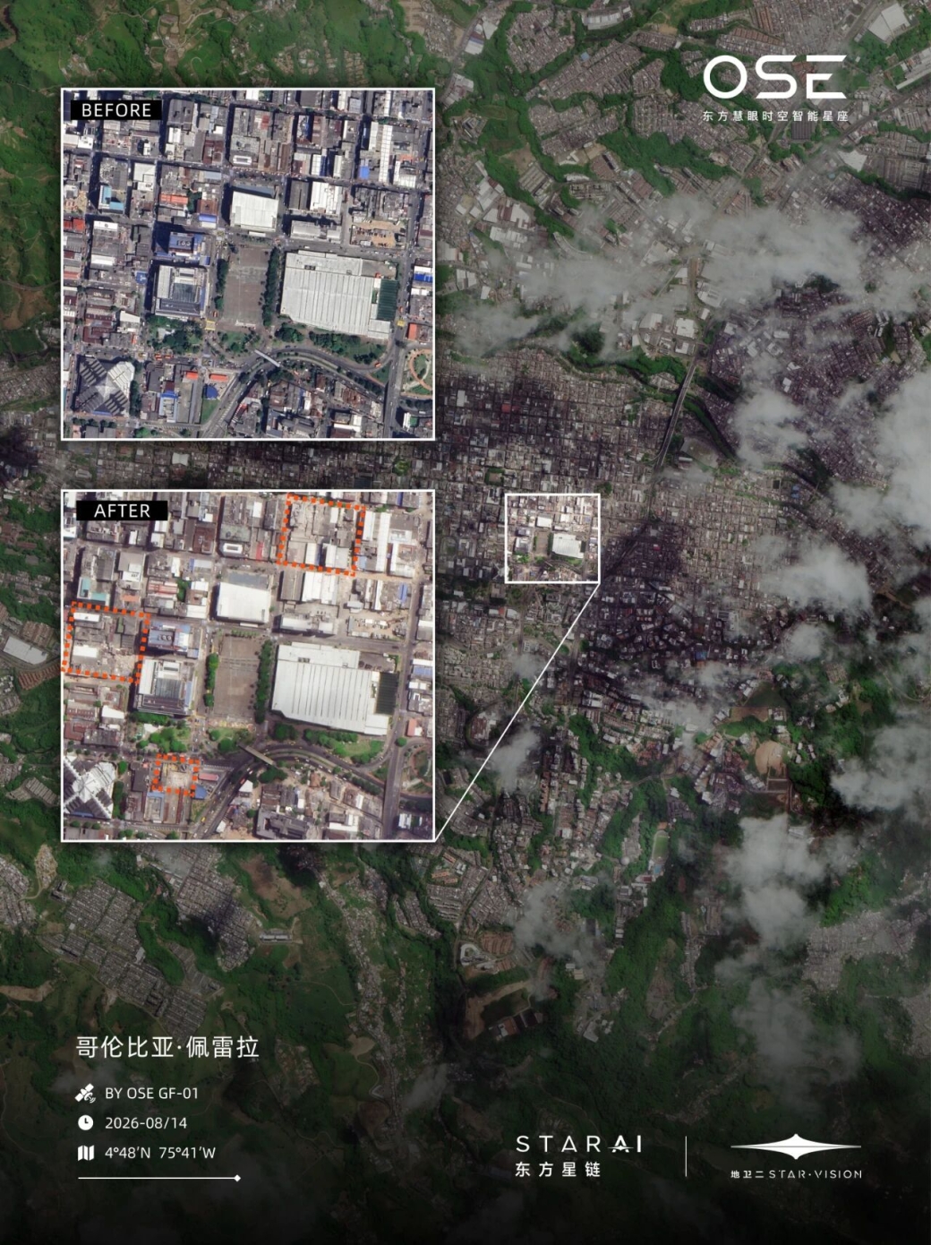
A magnitude-7.5 earthquake struck western Colombia on Aug. 10, 2026, causing widespread damage across 32 cities. According to figures released by local authorities on Aug. 15, the death toll had risen to 294, with 3,935 people injured.
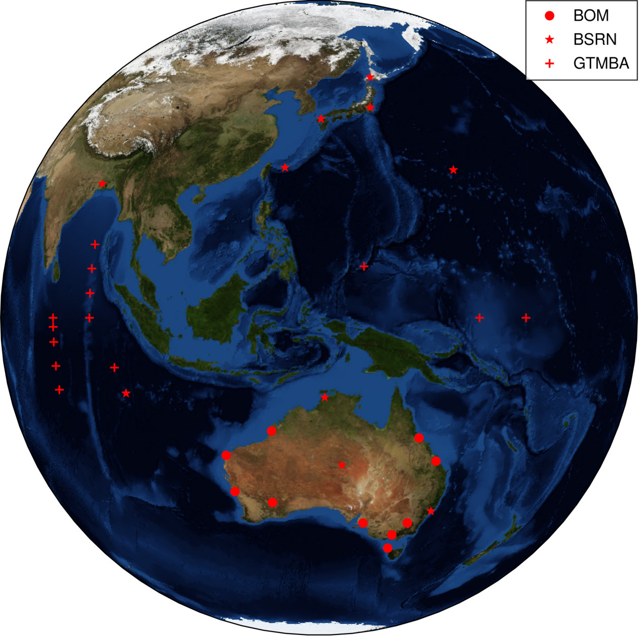
Accurate sunlight data is becoming essential for the clean-energy transition, but tracking how much solar radiation reaches Earth’s surface remains difficult when clouds, aerosols, and atmospheric changes shift rapidly. A new transfer learning framework now enables China's Fengyun-4A (FY-4A) geostationary satellite to estimate surface solar radiation (SSR) and its global, direct, and diffuse compo
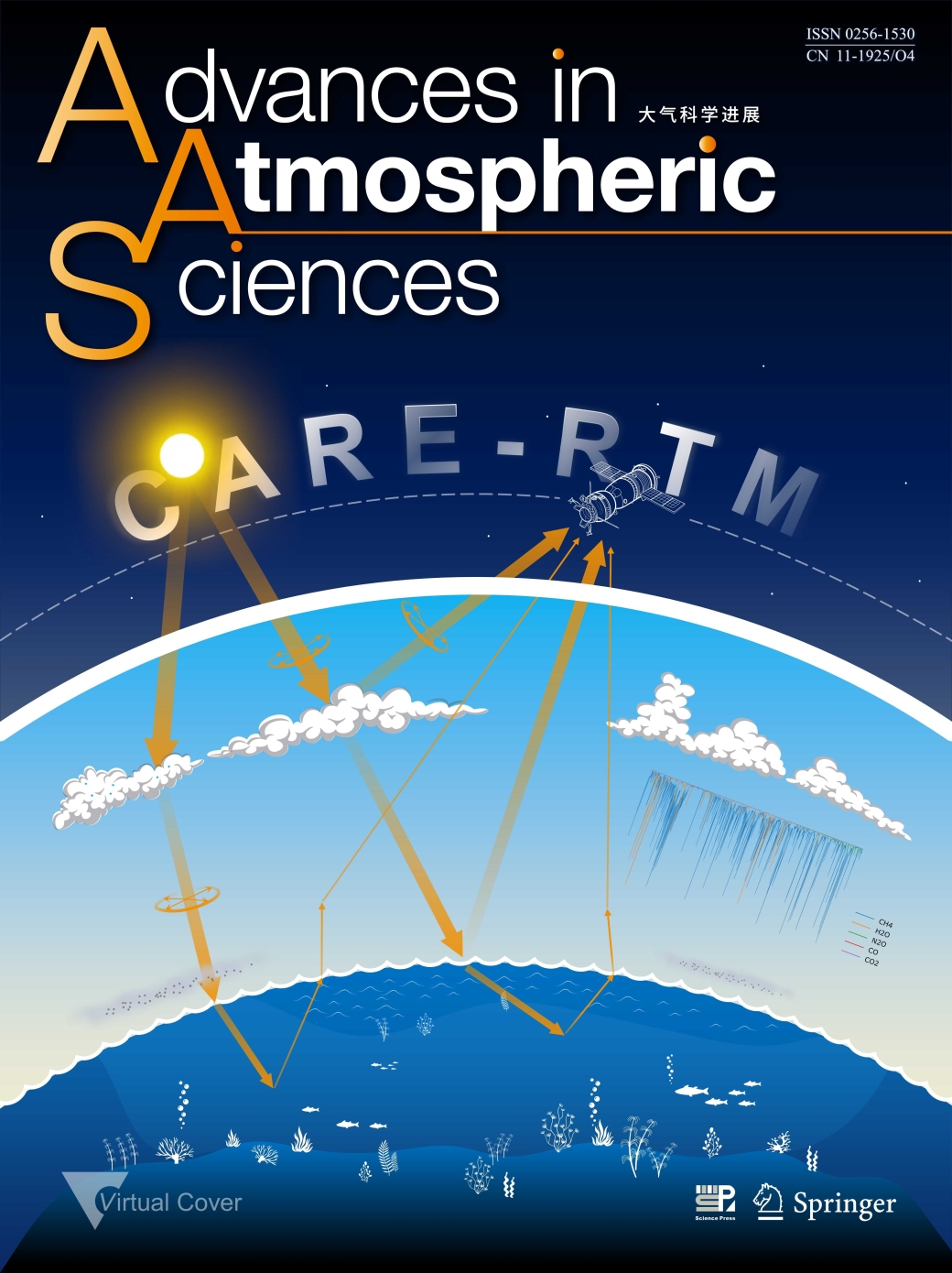
Researchers from the Aerospace Information Research Institute, Chinese Academy of Sciences, have developed a new radiative transfer model named CARE-RTM that simulates the propagation of sunlight through the atmosphere and ocean with improved precision and computational speed. CARE stands for Cloud Remote Sensing, Atmospheric Radiation and Renewable Energy Application, reflecting the model's broad
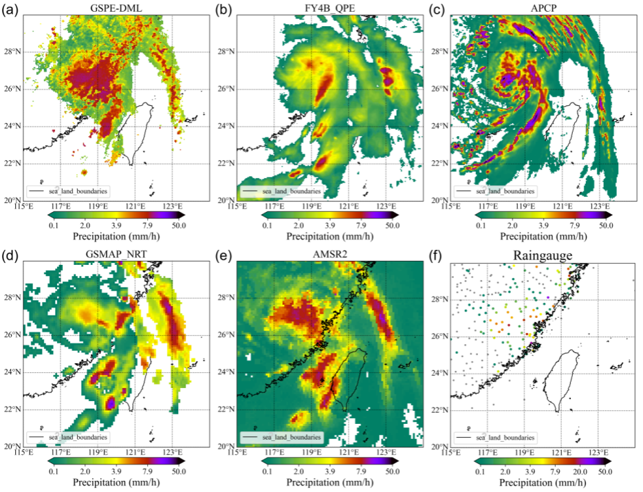
A new machine-learning algorithm could help meteorologists detect heavy rainfall more accurately and in near real time using China's Fengyun-4B geostationary meteorological satellite.
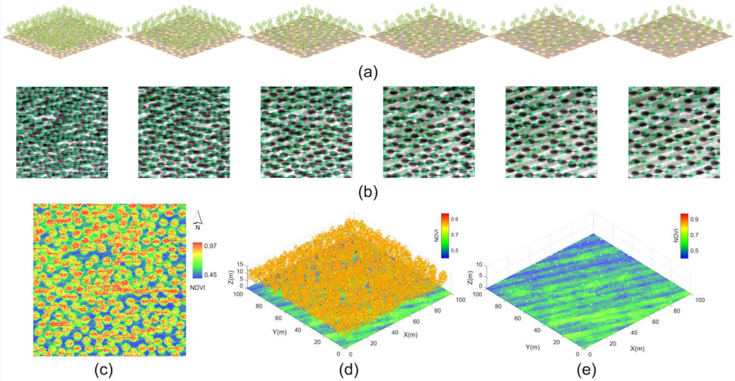
Hyperspectral LiDAR can recover soil spectral information from beneath vegetation canopies and help estimate key soil properties, according to a study published in Remote Sensing of Environment. The findings offer a new approach to monitoring soils in vegetated areas, where exposed ground is often limited or unavailable.
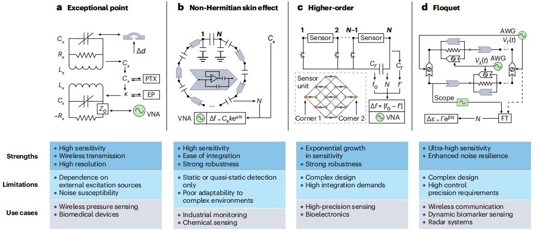
Topolectrical circuits are evolving from laboratory platforms for exploring fundamental physics into practical hardware for high-precision sensing, wireless communications, memristive and neuromorphic computing, and embodied intelligence, according to a comprehensive review jointly led by researchers from the Aerospace Information Research Institute of the Chinese Academy of Sciences (AIRCAS) and
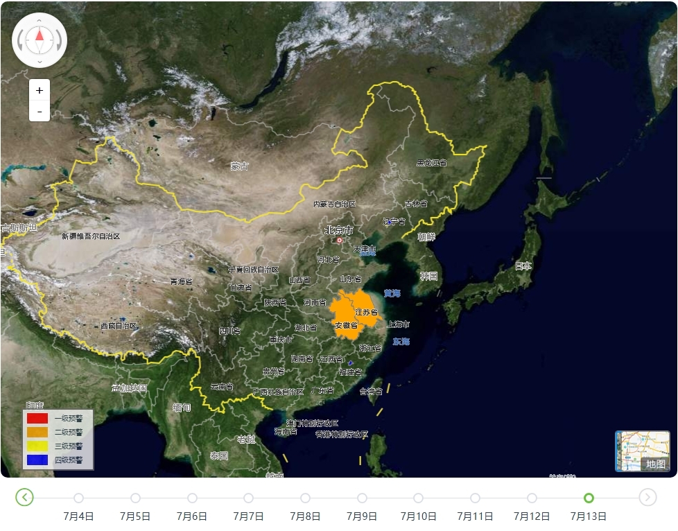
The Aerospace Information Research Institute of the Chinese Academy of Sciences (AIRCAS) has launched a dedicated satellite data service and an integrated flood warning platform to support emergency response as persistent heavy rainfall causes flooding in several parts of China.
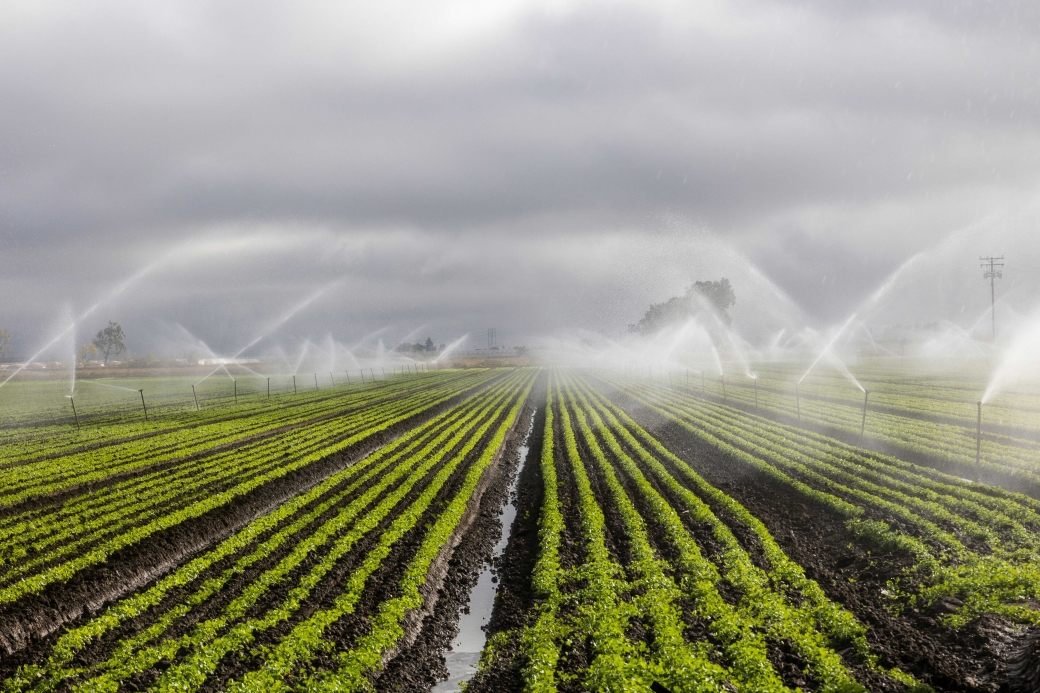
A research team led by Prof. WANG Shudong from the Aerospace Information Research Institute of the Chinese Academy of Sciences (AIRCAS) has developed a new way to measure agricultural irrigation water use across China by combining satellite observations, physical laws, and artificial intelligence.
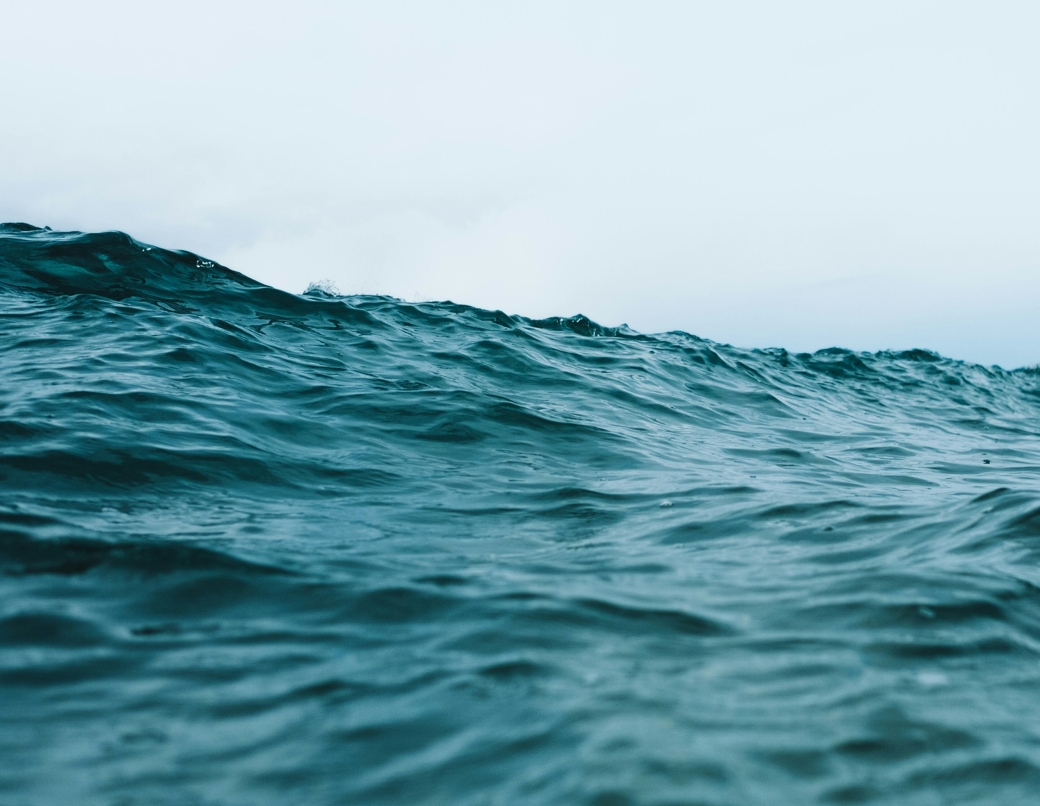
A new machine learning algorithm has enabled the Himawari-8 geostationary meteorological satellite to observe ocean color every 10 minutes, giving scientists a much sharper view of how coastal waters change throughout the day. By learning from high-quality MODIS ocean color observations, the transformer-based model overcomes key limitations of Himawari-8, including its relatively low signal-to-noi
Space technologies are helping scientists unlock new insights into one of the world's most remarkable volcanic landscapes. A team from the International Centre on Space Technologies for Natural and Cultural Heritage (HIST), a UNESCO Category 2 Centre specializing in applying space technologies to the conservation and management of World Heritage sites, Biosphere Reserves, and UNESCO Global Geopark